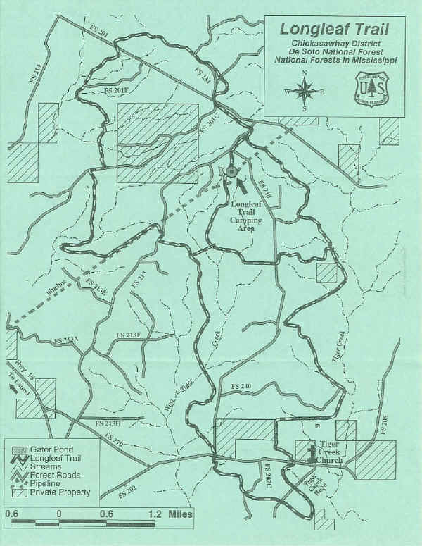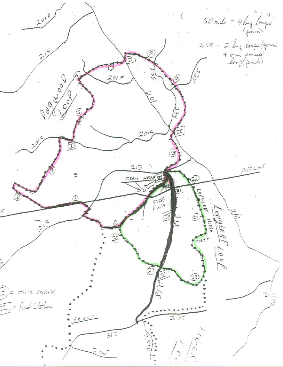
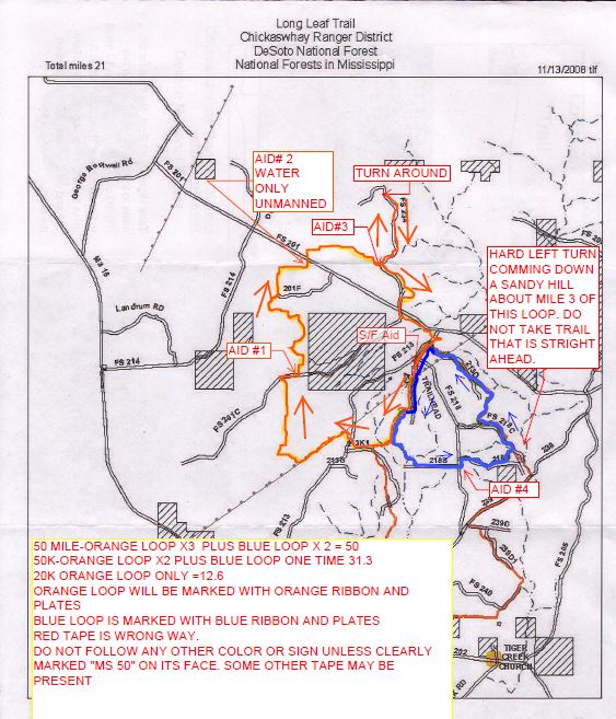
The map above shows the 2016 markings. Before each race the RD will send
out instructions and a map showing the current course and markings.
(They may
vary due to scheduled NFS burns, and hunting seasons)
The 50 milers usually run the big
orange loop three times, then run the
small blue
loop twice. (In the past, the 50 milers have sometimes run the big loop 4 times). This
will make
the 50 mile run more interesting, and allows a later cut-off for starting the
last lap. The 50K
runners will run the 20K loop twice, and the 10 K loop
once. The 20K folks will run the 20 k loop.
The final decision on the course will be made before the Friday
night briefing, and will depend on
course condition and where the NFS has
done their seasonal burns.
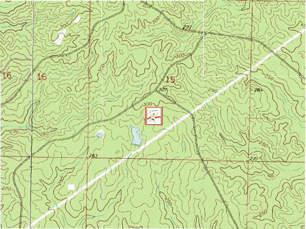
The course is not hilly or steep by usual ultra standards.
The lowest
evevation is over 200' ASL and the highest is under 400'ASL.
See FAQ's on the course, aid stations
See GPS data collected by runners during the run.
![]()
|
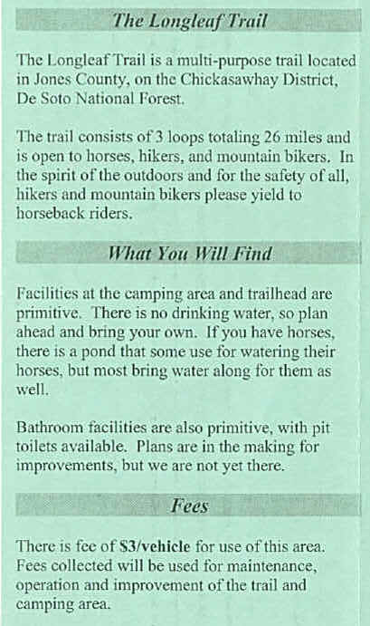
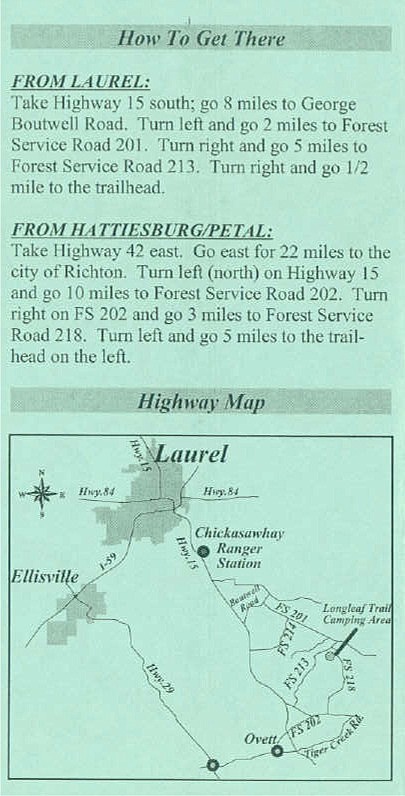
Here's the USDA Forest Service Brochure on the Longleaf
Trail
Topographic Map
|
![]()